
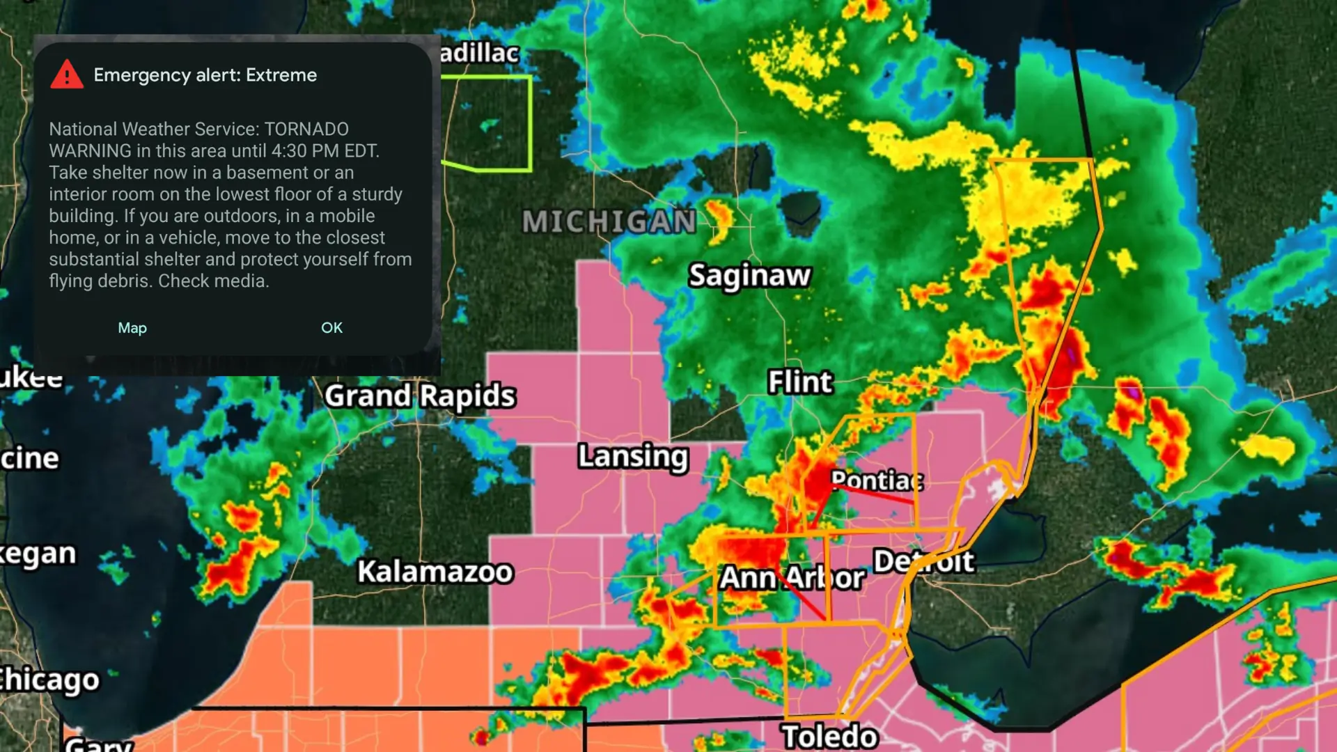
DETROIT – Wayne County is under a tornado warning until 4:30 p.m. Thursday.
Severe thunderstorms capable of producing multiple tornadoes were located at 3:47 p.m. along a line from near West Bloomfield to Dixboro to near Saline. It was moving southeast at 45 mph, according to the National Weather Service.
This was a radar-indicated warning.
Flying debris will be a hazard to anyone without shelter. Mobile homes, windows, vehicles, and roofs might get damaged or destroyed.
The storms are expected to affect:
- Livonia, Southfield, Romulus, Canton, and Belleville around 3:55 p.m.
- Dearborn around 4 p.m.
- Taylor and Greenfield Village around 4:05 p.m.
- Flat Rock and Detroit around 4:10 p.m.
- Downtown Detroit, Wyandotte, and Trenton around 4:15 p.m.
- Belle Isle around 4:20 p.m.
- Other locations that might be affected include Melvindale, Gibraltar, New Boston, Rockwood, Harper Woods, Westland, Grosse Pointe Shores, Ecorse, Grosse Pointe Woods, and Woodhaven.
Residents in these areas should take cover by moving to a basement or an interior room on the lowest floor of a sturdy building. Avoid windows.
If you’re outside, in a mobile home, or in a car, move to the closest viable shelter to protect yourself.
Torrential rainfall is also possible and could lead to flash flooding. Don’t drive through flooded roads.
