
4Warn Weather – High pressure kept Southeast Michigan under plenty of sunshine Monday, but as the next low-pressure system moves in, rain returns to the forecast tomorrow.
As the front stalls to the south of us, rain chances will linger into Wednesday and Thursday.
Enjoy the pleasant evening with a few clouds and temperatures gradually falling into the low 60s.
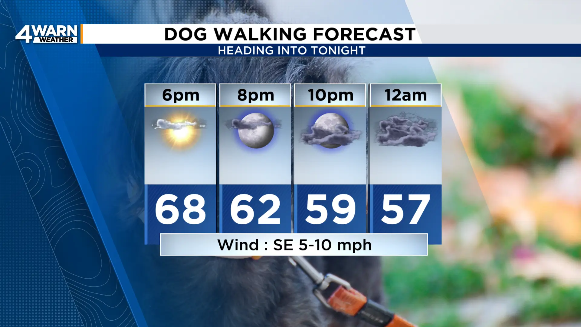
Overnight temperatures will fall to the mid 50s as cloud cover increases across the area.
Scattered rain moves in early Tuesday morning, and some locations will have rain for the morning commute.
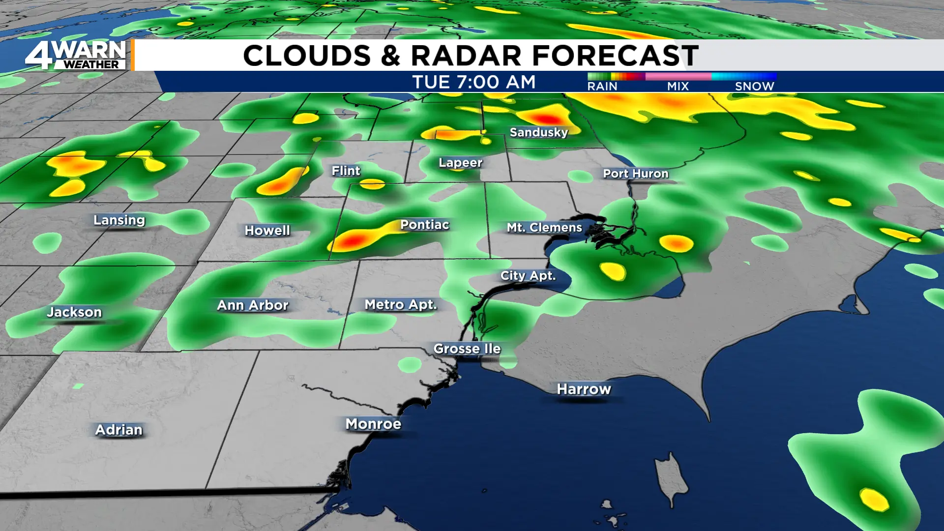
Scattered rain will be possible throughout the day as a cold front moves across the state.
This front will stall in the Ohio Valley, keeping rain chances in the forecast Wednesday and Thursday.
Even with some rain, Tuesday will be warm. A breezy southwest wind at 10-15 mph, gusting into the mid 20s, will help to boost temperatures into the low 80s.

On the backside of the front, Wednesday’s afternoon highs will be in the mid 70s. Highs will stay in the mid 70s through the end of the week.
