
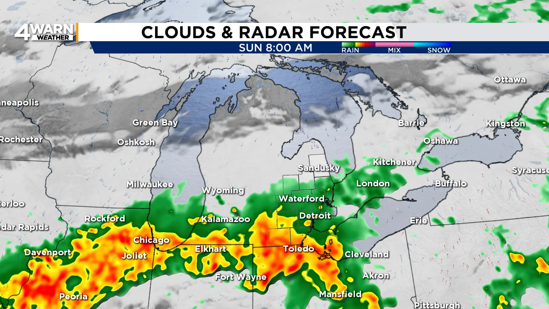
4Warn Weather - After a soggy start to Saturday, Southeast Michigan saw a break in the widespread rain to end the day. It returns Sunday morning before the chance to briefly dry out and see brighter skies.
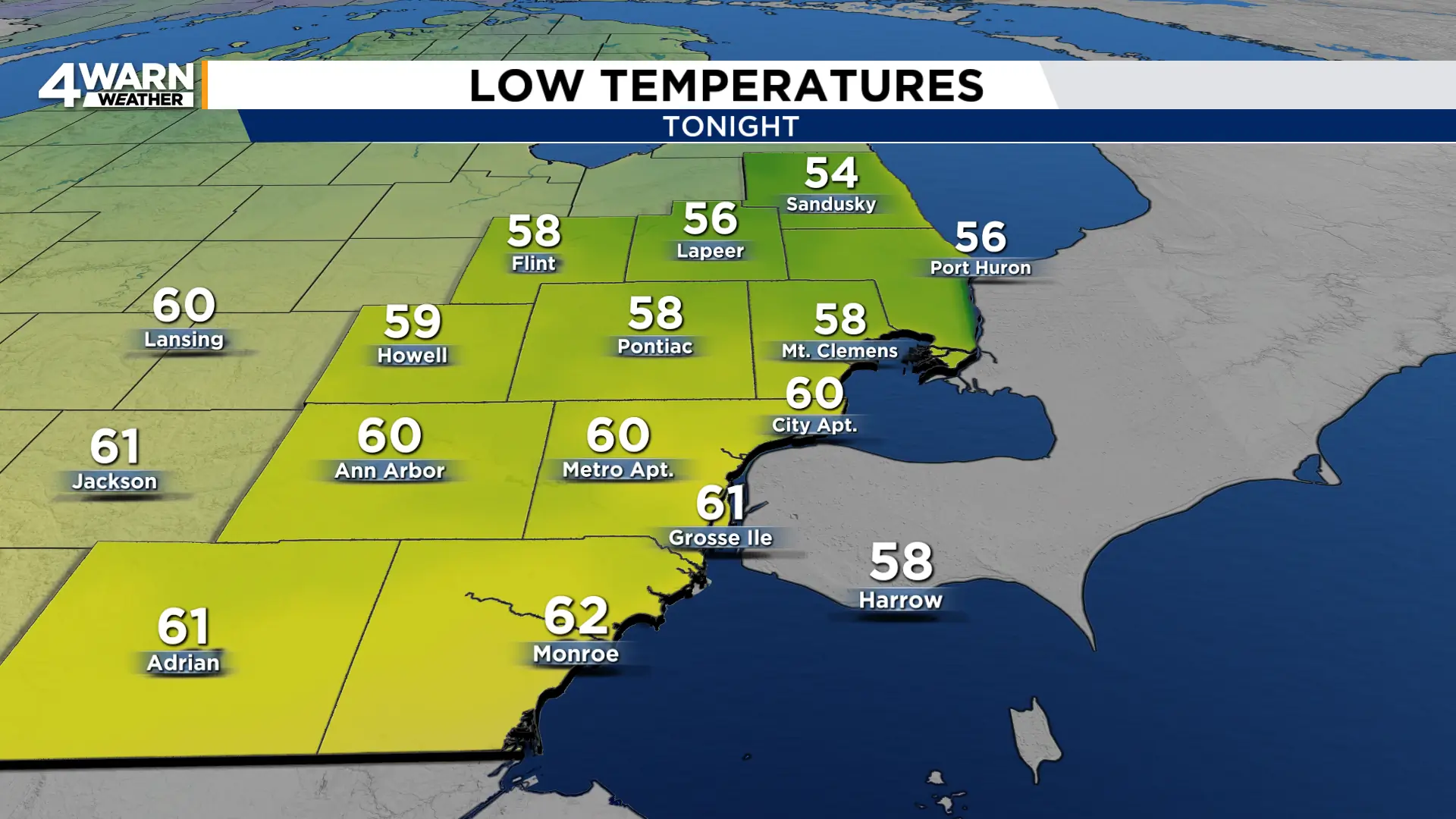
This evening into the overnight spotty showers will be possible across Southeast Michigan. Skies will remain overcast with a light east-northeast wind as temperatures fall to around 60°.
Fog, dense at times, will develop across the area, so you may want to give yourself an extra minute or two on the roads if you’ll be out late tonight or early tomorrow.
We also see widespread rain move back in early Sunday morning.
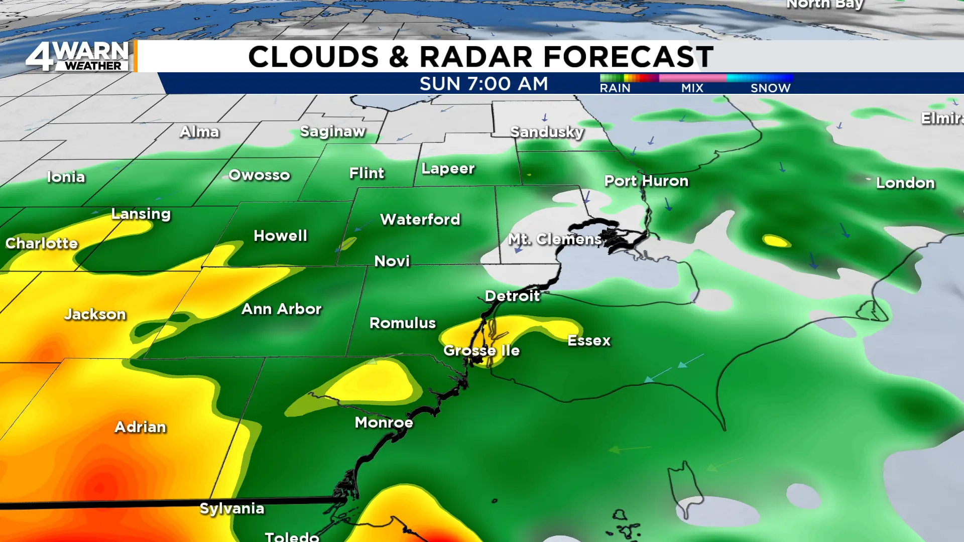
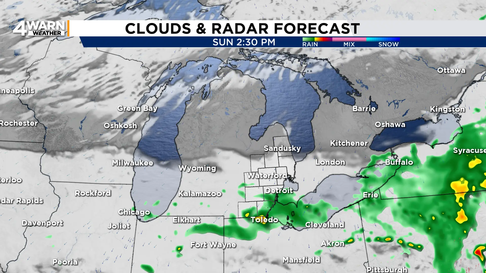
This round of rain looks to move out mid afternoon Sunday with cloud cover diminishing.
Afternoon highs on Sunday will be below normal in the mid 60s with a breezy northeast wind at 10-15 mph, gusting into the mid 20s.
Temperatures stay cool into the coming workweek with more rain chances Monday and Tuesday.
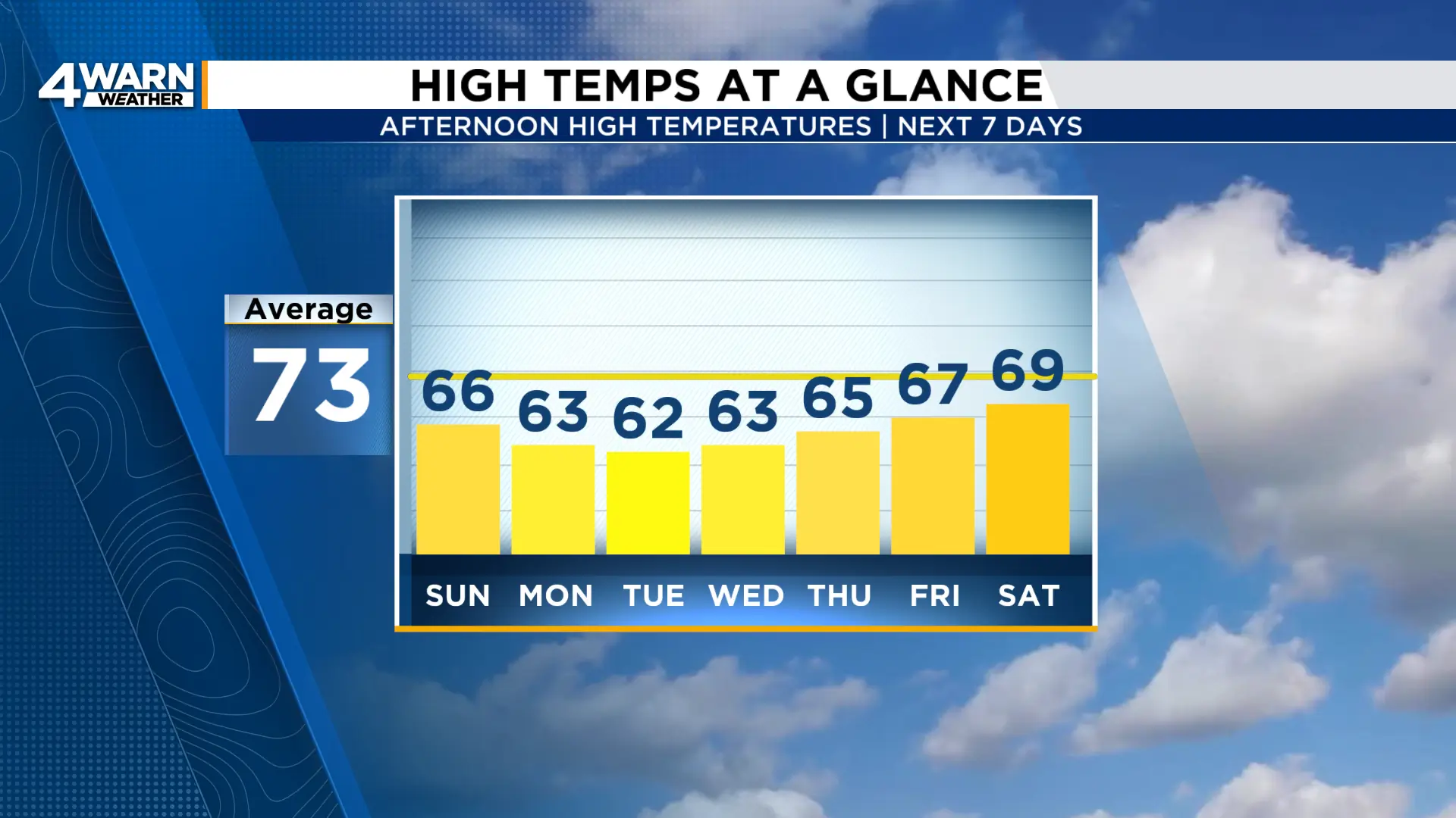
We’ll see warmer weather return to end next week.
